First |
Previous Picture |
Next Picture |
Last | Thumbnails

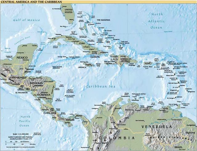
These are the slides from our talk on Cruising the Caribbean which we happily give to sailing groups. The winds usually blow from the East making movement in our cruising grounds a reach. The following pictures are from Puerto Rico in the north all the way to Greneda in the south,
| ©2002-6 Accidental Cruiser | Home • Islands • Photo Journal • Cruising Log • Sailing Info • Viewer's Comments • Comment |